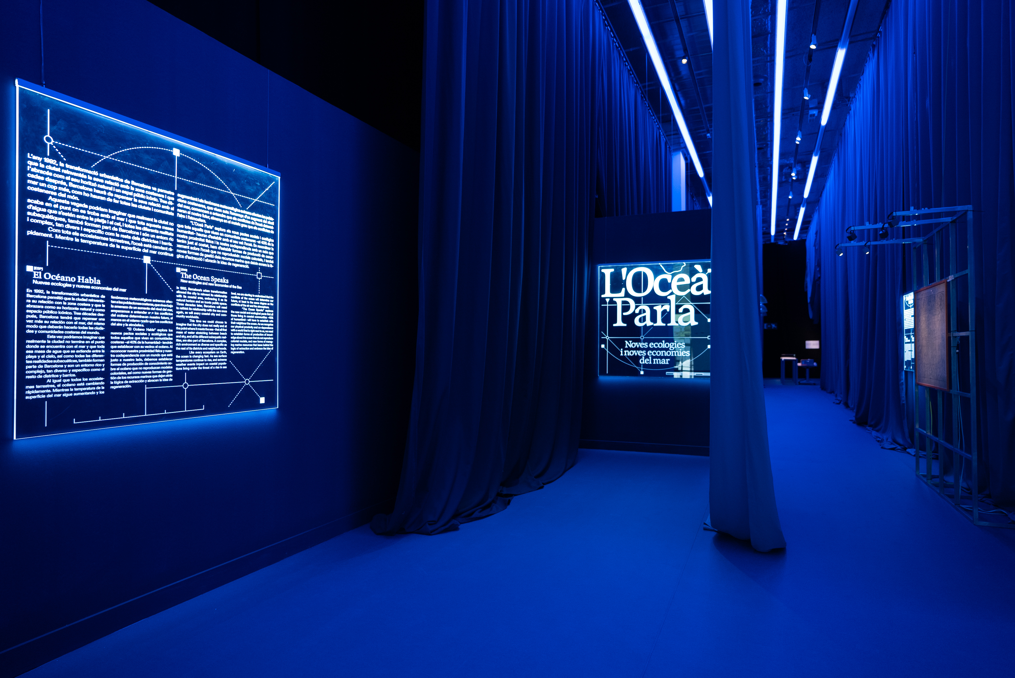
L'Ocea Parla: Critical Cartography of Underwater Barcelona
General Info
- Location
-
Barcelona, Spain
- Comissioned by
-
Disseny Hub
- Date
-
08/09/2024 – 24/11/2024
- Typology
-
Exhibition
- Collaborators
-
Juan Pablo Pacheco Bejarano
About
L’Ocea Parla analyses the impact of human action on marine ecosystems and reflects on how the city's relationship with the sea can be redesigned through an innovation-based approach. Barcelona’s opening to the sea was one of the major structural changes that redefined the city in the 1990s. Now, the climate crisis is making us re-evaluate its relationship with the sea and the ecosystems it includes. The exhibition addresses this issue in an interdisciplinary way, covering architecture, technology, speculative design and urban planning, all of them disciplines that are capable of suggesting new approaches to the major challenges society is facing.
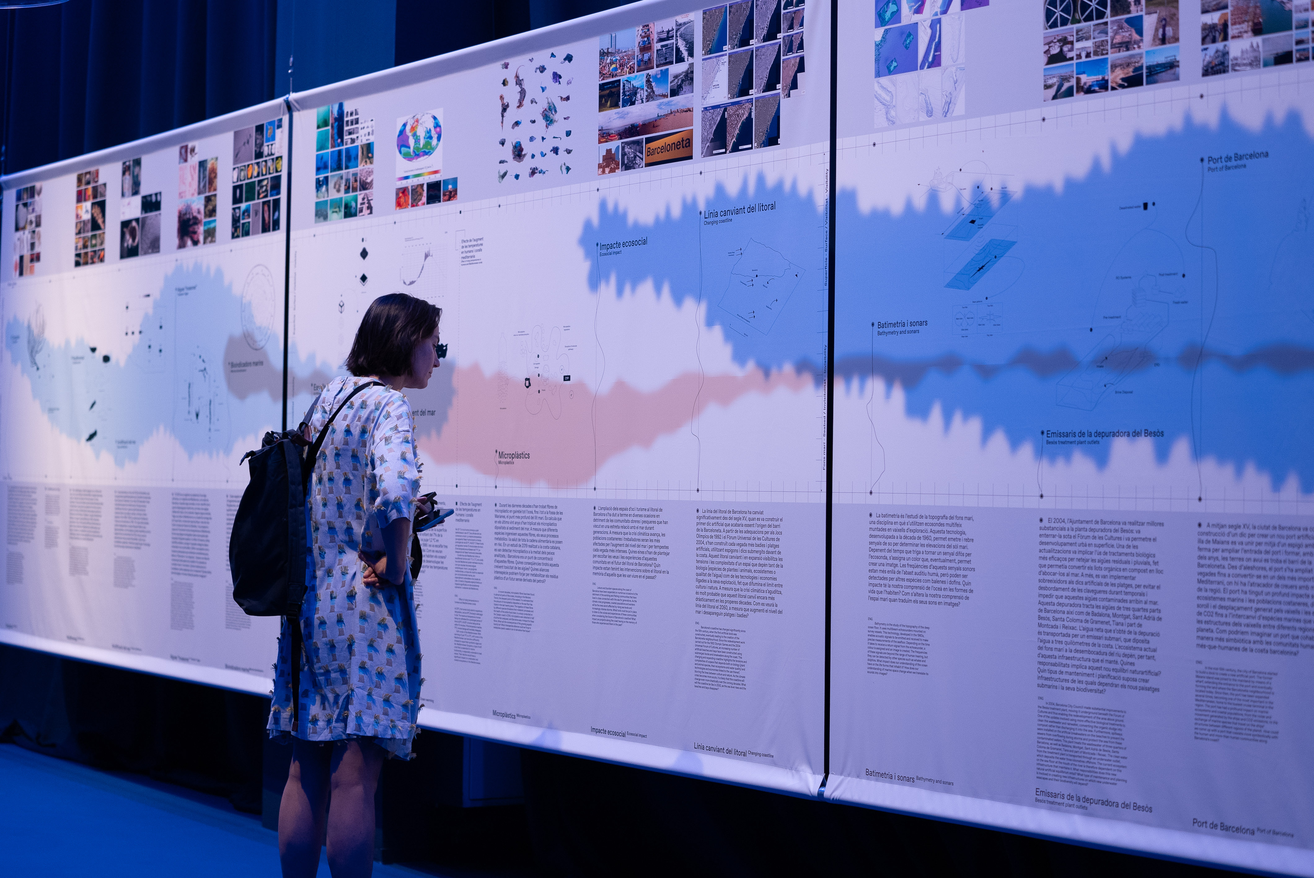
Critical Cartography Of Underwater Barcelona
When we look out at the sea, when we swim in its waters or take a stroll along its shores, we have little idea of what is going on far beneath the waves. The image associated with the ocean is influenced by the numerous images that represent it. The sea is a hypermediated body of water that is subject to analysis and constant interventions and tangled up in a vast array of complexities and interests ranging from the ecological and scientific to the political, economic and aesthetic. The sea is a place that is neither silent nor static. The sea floor is a dynamic ecosystem where numerous lifeforms, sounds and infrastructures intermingle in a postnatural environment inhabited both by biological and technological entities.
The starting point for this exhibition is the history of the relationship between a city – Barcelona – and its seafront. From here, it takes a thorough look at the conflicts and circumstances present in coastal communities all over the world, which are home to 40% of humankind and make up a significant proportion of our most valued land. Off the coast of Barcelona, hundreds of marine animals and plants coexist alongside gas pipelines, fibre optic cables and freshwater treatment plant outlets, immersed in the incessant port activity and swimming among its wrecks and artificial reefs. The aim of this Critical cartography of underwater Barcelona is to give an account of the emerging ecologies on Barcelona’s seabed, proposing a postnatural archaeology of relationships between some of the elements that inhabit it and of which it is composed. Based on a document developed in close collaboration with city stakeholders, the project has sought to understand its ecological and technological networks and its evolution in recent history.
Artificial Reefs
What do these new artificial ecosystems represent? How do the ecologies that emerge from these post-natural environments grow—and how do they sound?
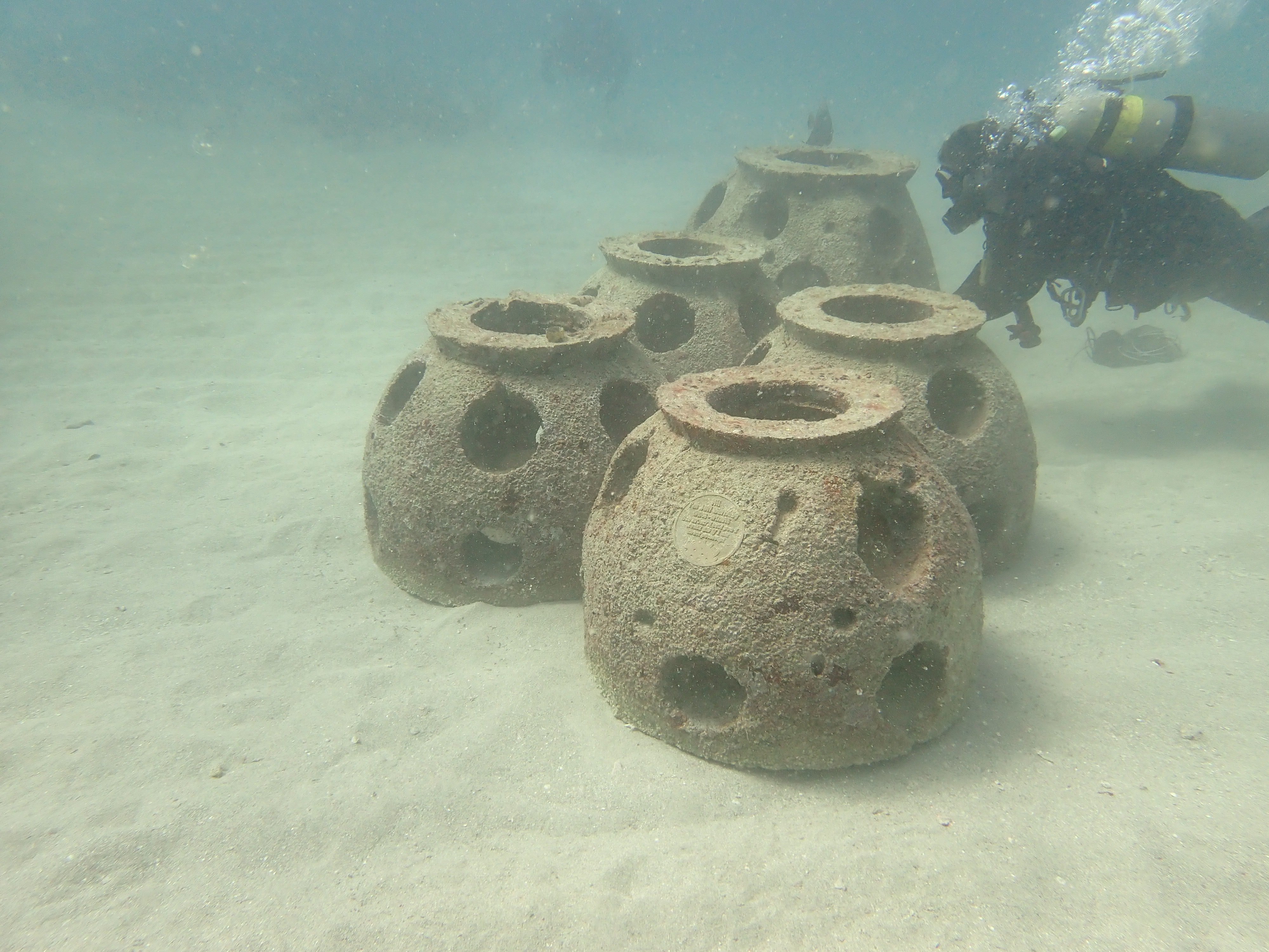
In 2003, the Barcelona City Council submerged around three hundred concrete structures two kilometers off the coast and twenty meters deep, creating five artificial reefs.
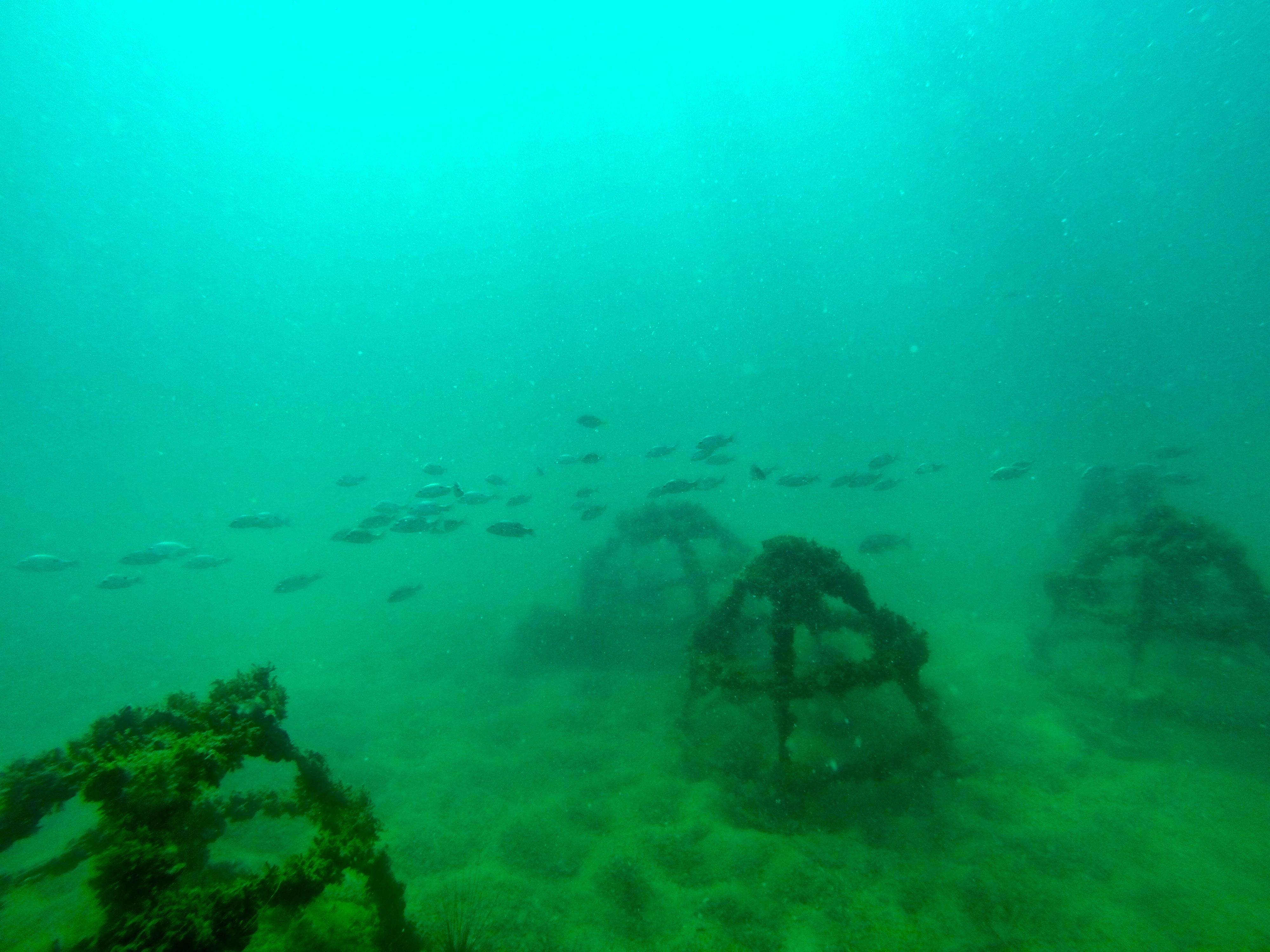
Twenty years later, the concrete structures of the artificial reefs are fully populated by hundreds of species of marine plants and animals, supporting artisanal fishing and drawing the attention of tourists.
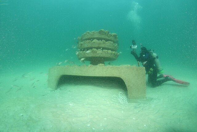
Artificial Reef structures
Barcelona’s coastline is ever-shifting, disputed, extended and negotiated, and undergoing constant transformation. Since the 15th century, its border has shifted based on countless additions: breakwaters, docks, ports and artificial beaches. Although the coastline appears to be a rigid frontier between the terrestrial and marine worlds, this cartography aims to dampen and blur these lines and boundaries and break down certain distinctions and categories, such as the ones imposed between nature and culture, between biology and technology.
The cartography looks at a number of case studies of postnatural marine ecosystems in the city: artificial reefs, the changing coastline, ocean warming and acidification, bathymetry, sonars and the port, noise pollution and interactions with marine bioindicators such as nudibranchs and gorgonians. As these agents become affected by our incessant activity, their parameters, toxicities and microplastics increase exponentially. These complex contemporary ecologies demand a critical view on their future, inviting us to rethink the relationships and interdependencies between anthropic design and marine life.
The cartography, in turn, aims to explain the tension between the visible and the invisible in a submerged environment, analysing the forces that give shape to this very specific kind of visibility. From the surface of the sea to its deepest depths, studying the sea entails entering an increasingly dark and mysterious world, where small species live alongside buried technologies, with deafening noises and electromagnetic waves that try to decipher their activity and make it visible. This map is a document that reflects relationships, data and analyses, but also the tales of the sea’s inhabitants, their histories and transformations, and of some of the voices that are devoted to studying their ecosystems. This research includes interviews with stakeholders linked to studying and caring for marine environment in Barcelona, who have raised numerous questions that force us to reflect on the future of this space.
Underwater Cables, Invisible Technologies
In 2019, the creation of the Barcelona Cable Landing Station began— a privately initiated project aiming to position the city as one of the most important telecommunications hubs in the Mediterranean. As of today, three fiber optic cables reach this station: Africa, which circles the entire African continent; Medloop, which connects Spain, France, and Italy; and Medusa, a cable that will link a dozen European and African countries across the Mediterranean starting in 2025.
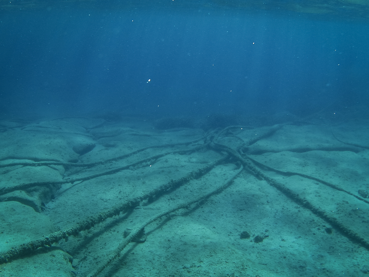
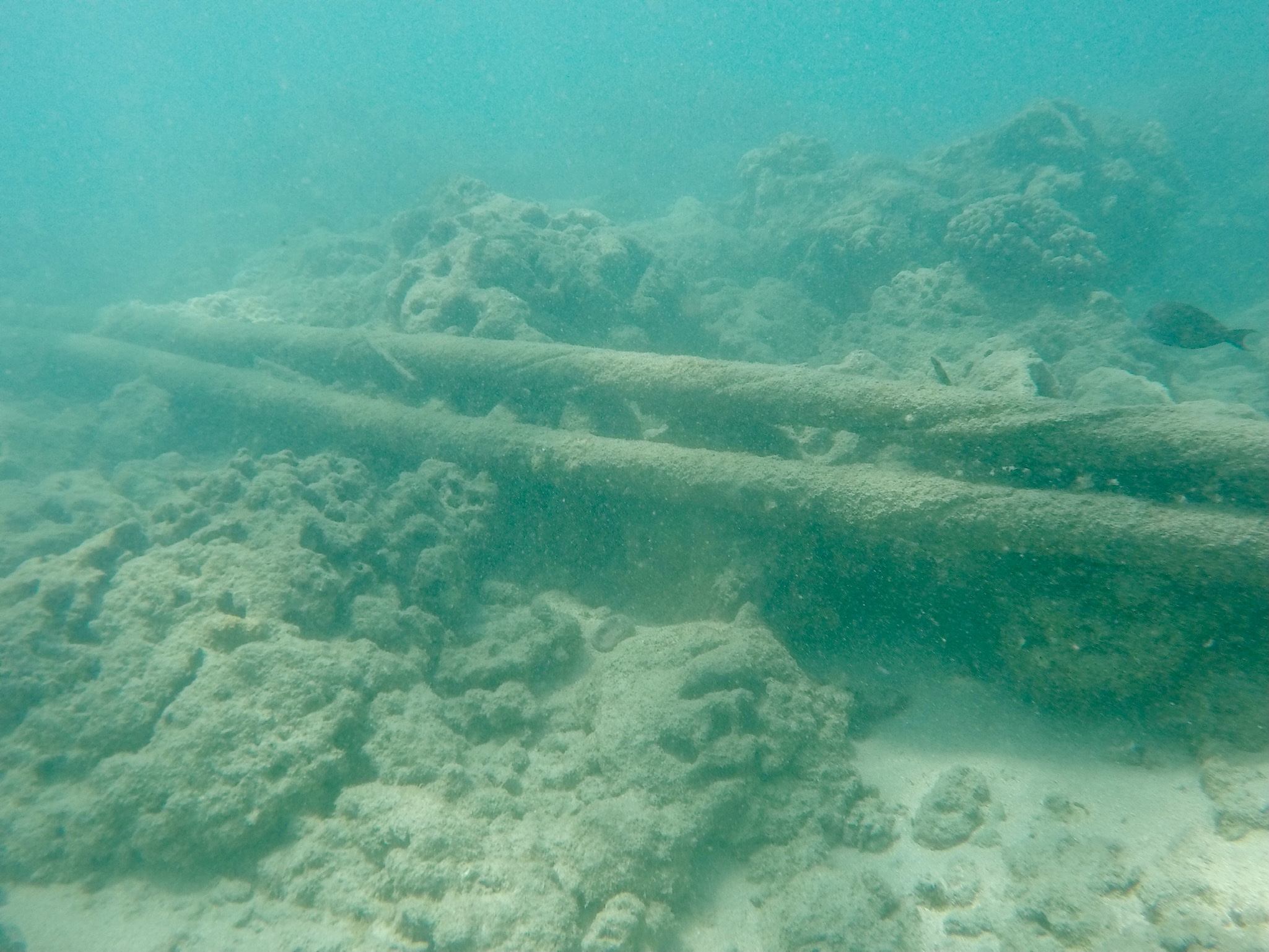
Fiber optic cables transmit information in the form of light, using electric signal repeaters on the seafloor. Although the light pulses of fiber optics produce no sound, the electrical charge from the signal repeaters generates electromagnetic static that can interfere with the navigation of hundreds of species.

Cable submarine mantainance, June 2021
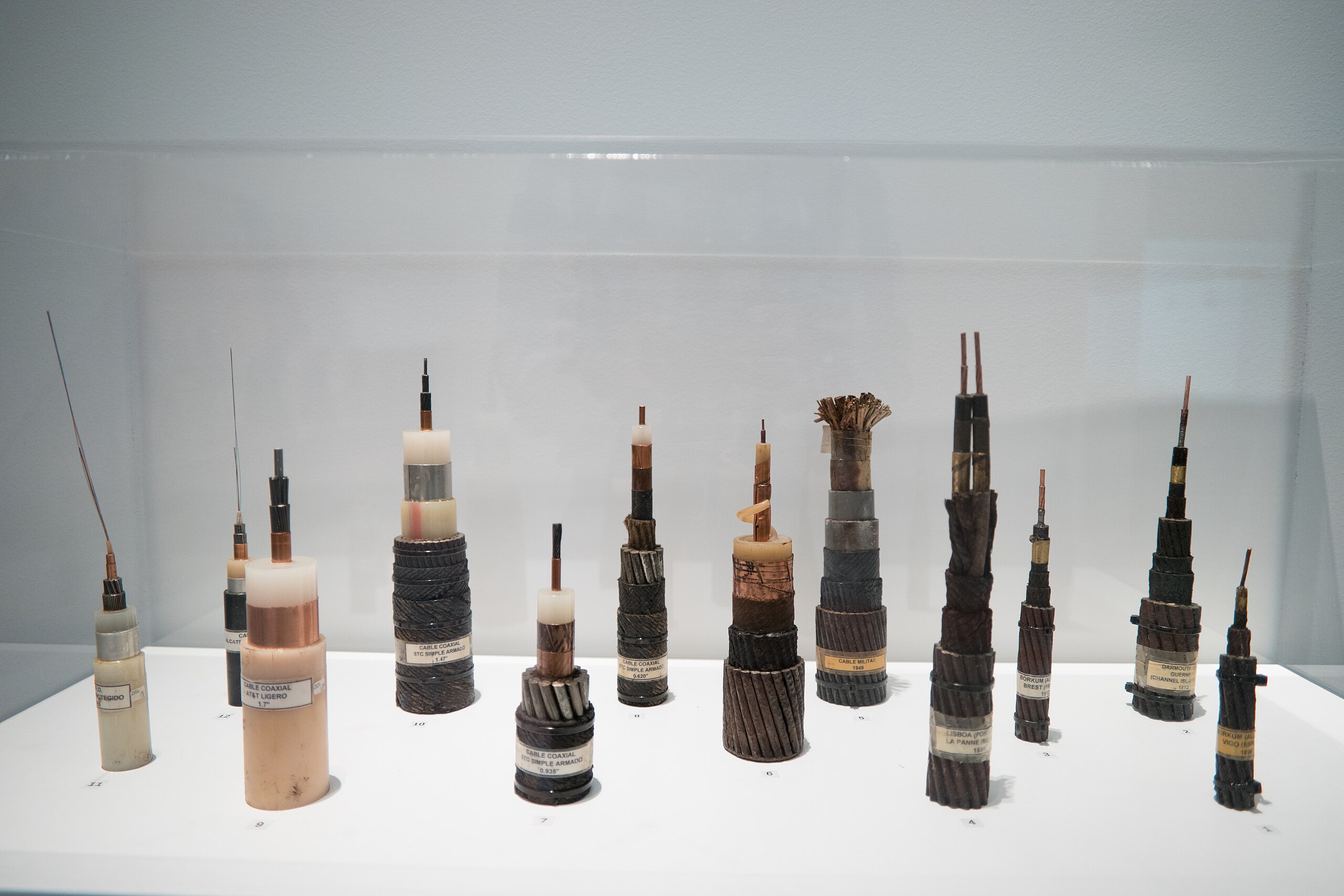
Typologies of underwater cables, Dox Museum, Prague
Gorgonia Ecosystems
How does a gorgonian perceive the shoreline? What post-natural myths do gorgonians weave as their calcium carbonate bodies dissolve in the acidifying sea?
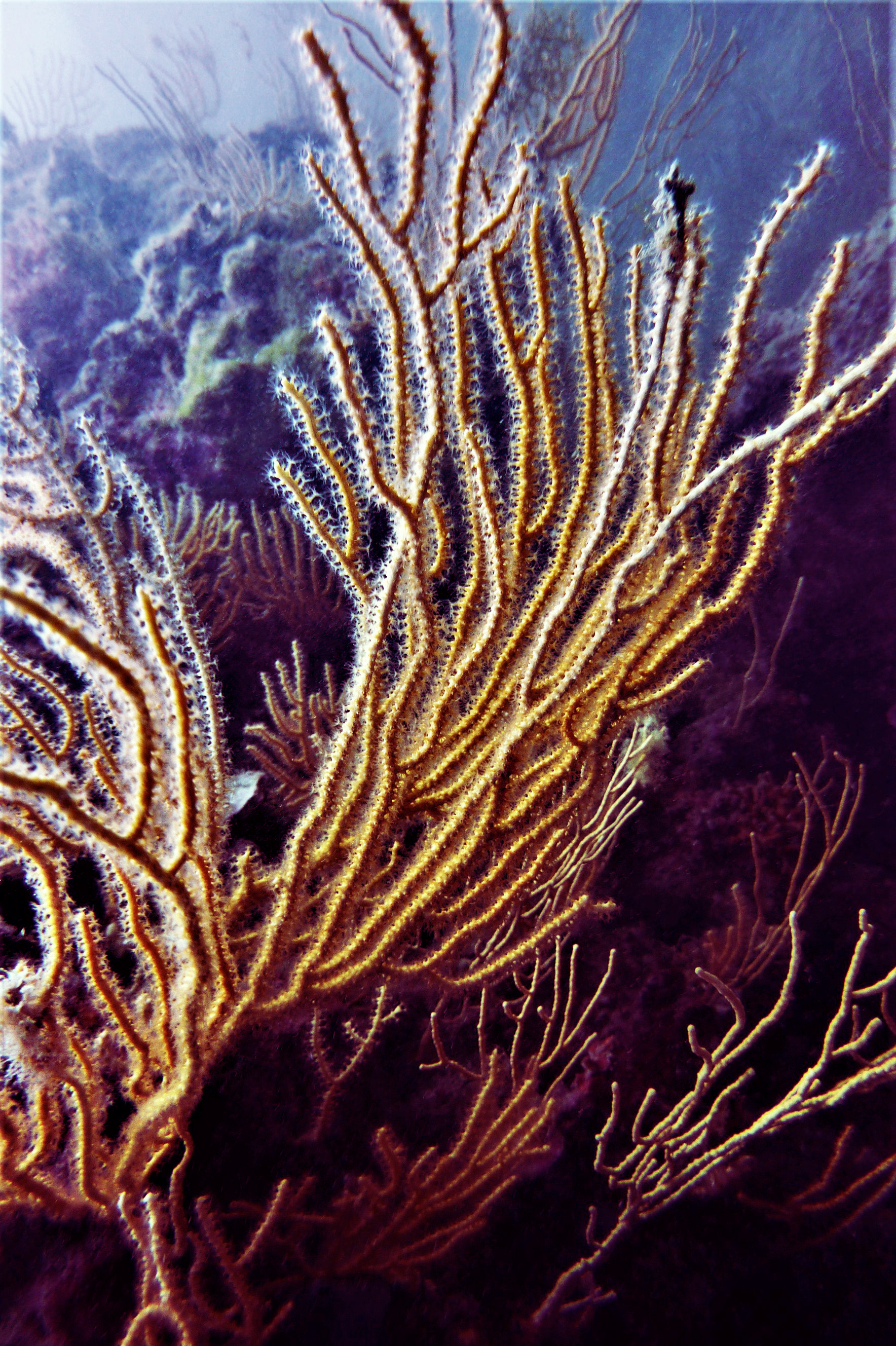
Gorgonians are a type of soft coral commonly found in the Mediterranean. In ancient Greek mythology, it was said that when Perseus returned with the head of the decapitated Gorgon, the blood that fell into the sea turned into the coral known as gorgonia. Due to rising temperatures and ocean acidification, algae abandon their symbiotic relationship with the coral, leaving its calcium carbonate structures vulnerable to erosion.
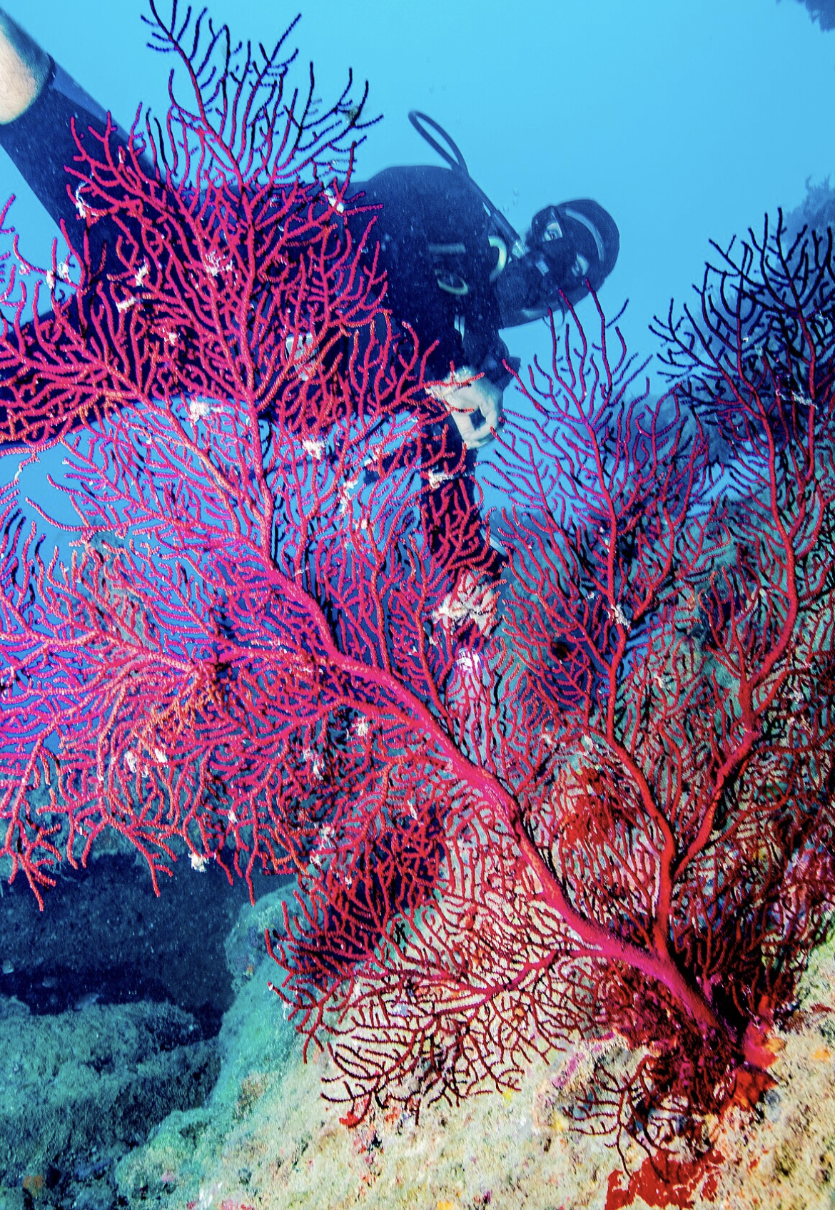
Currently, the Port of Barcelona is working with the company Ocean Ecostructures to plant gorgonians on artificial reefs along the Barcelona coast as part of efforts to restore biodiversity around the city.

Gorgonia Flabellum print
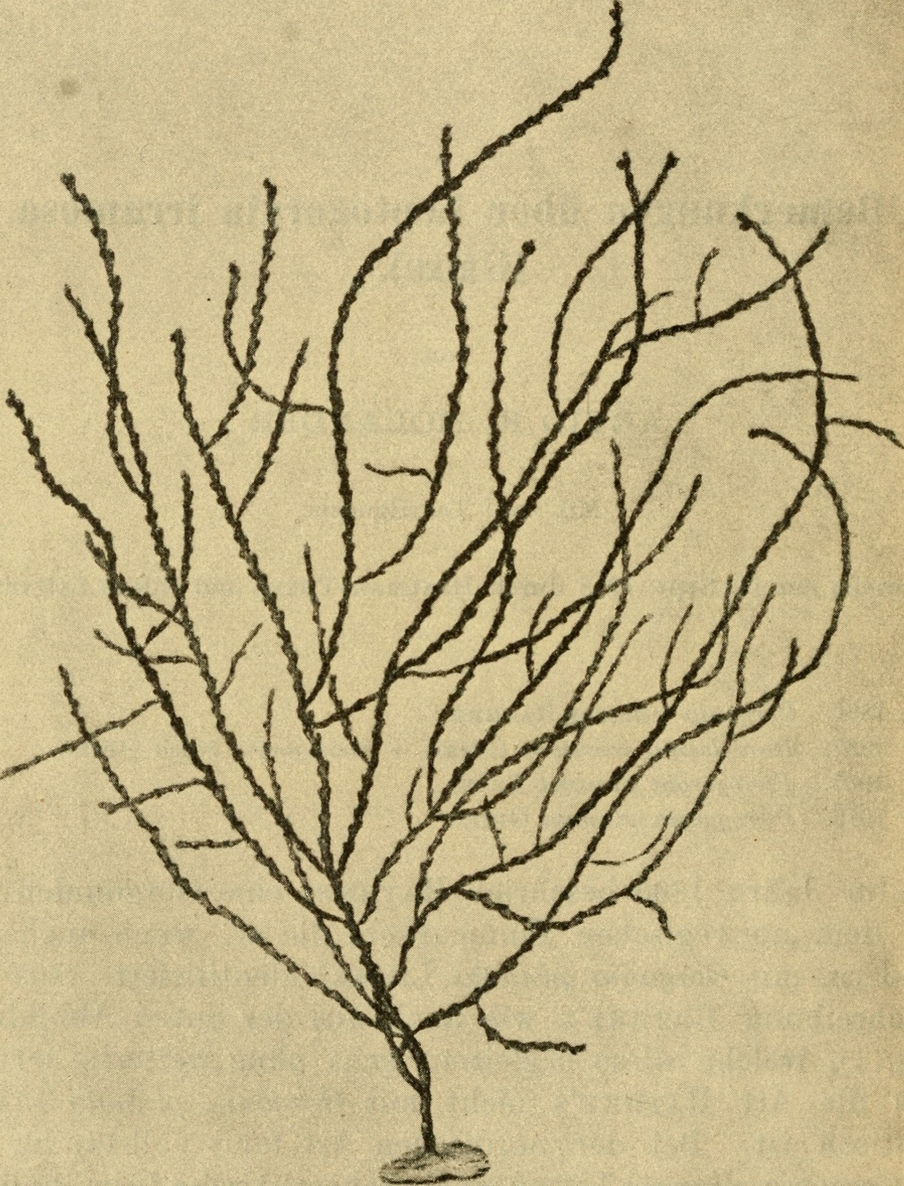
Gorgonia Illustration, Arkiv for zoologi 1918
Nudibrachia
What might a nudibranch tell us about its life experience among the concrete blocks installed along the coast of Barcelona?
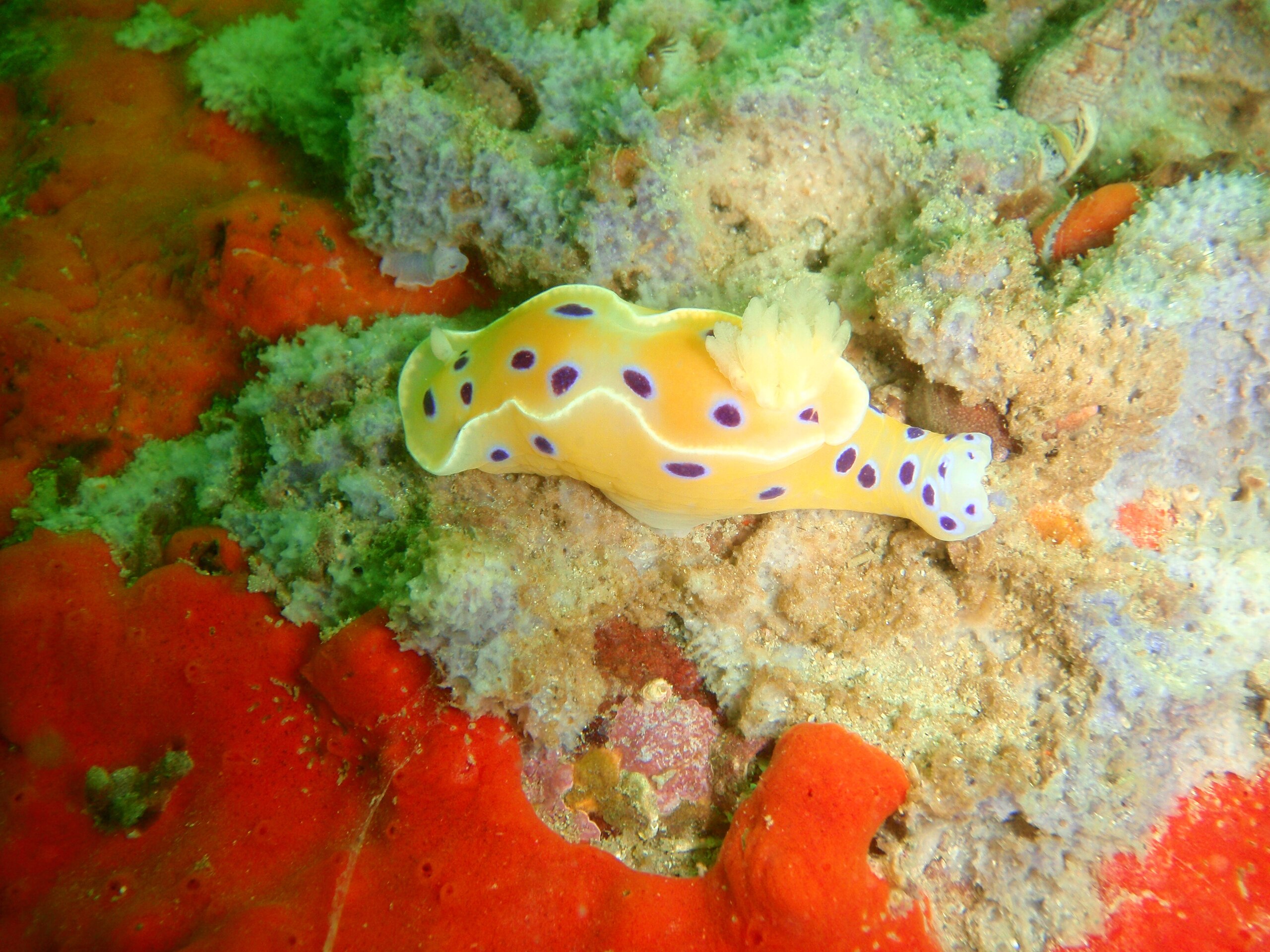
Nudibranchs, also known as sea slugs, are hermaphroditic mollusks known for their vibrant colors, sinuous shapes, and toxicity.
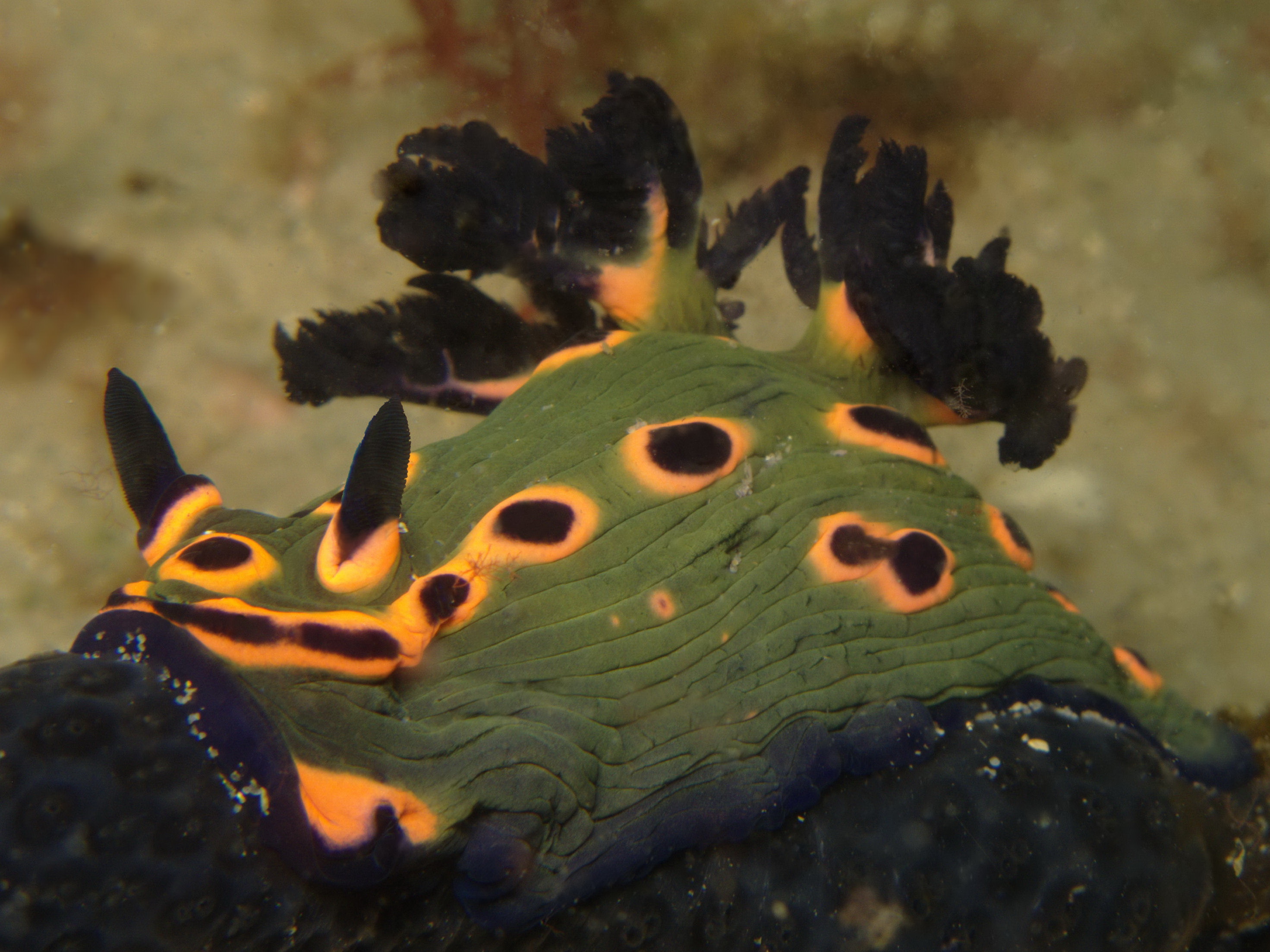
Their name implies that their gills are exposed, as they are a type of mollusk that has lost its shell. Their eyes can only detect the difference between light and dark, relying mainly on smell and taste, which they perceive through sensory appendages on their heads.
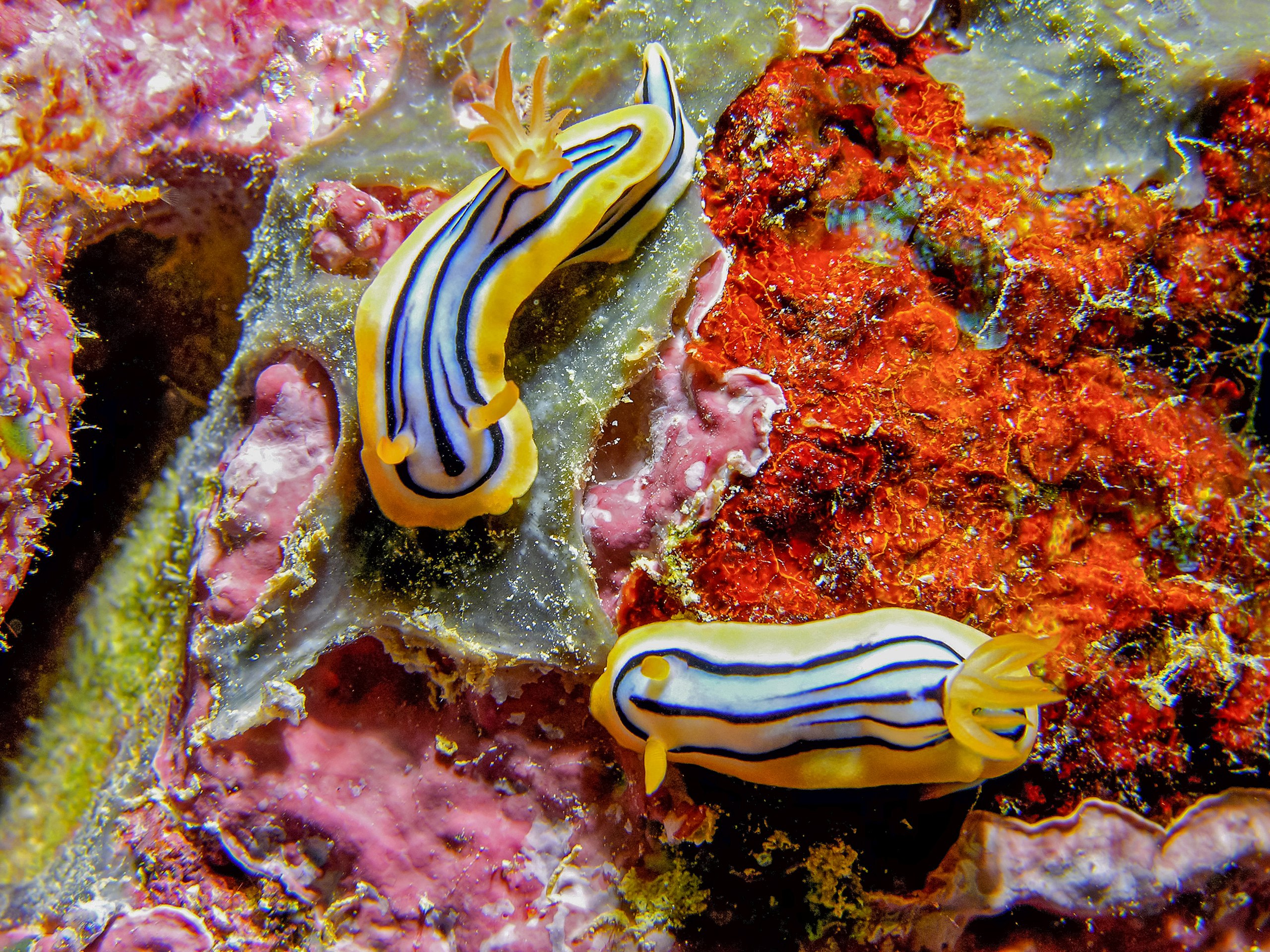
In the artificial reefs of Barcelona, dozens of nudibranch species can now be seen—species that previously had no place to settle.
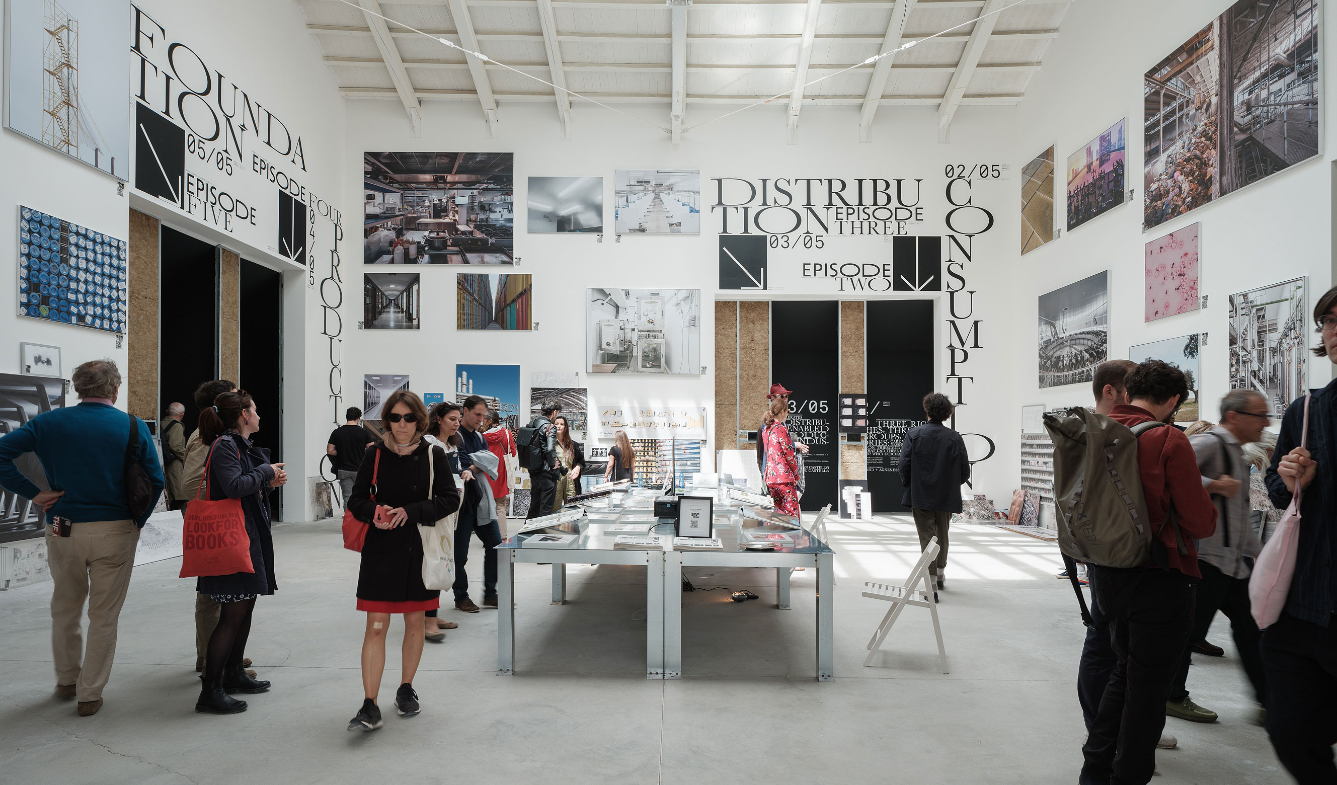
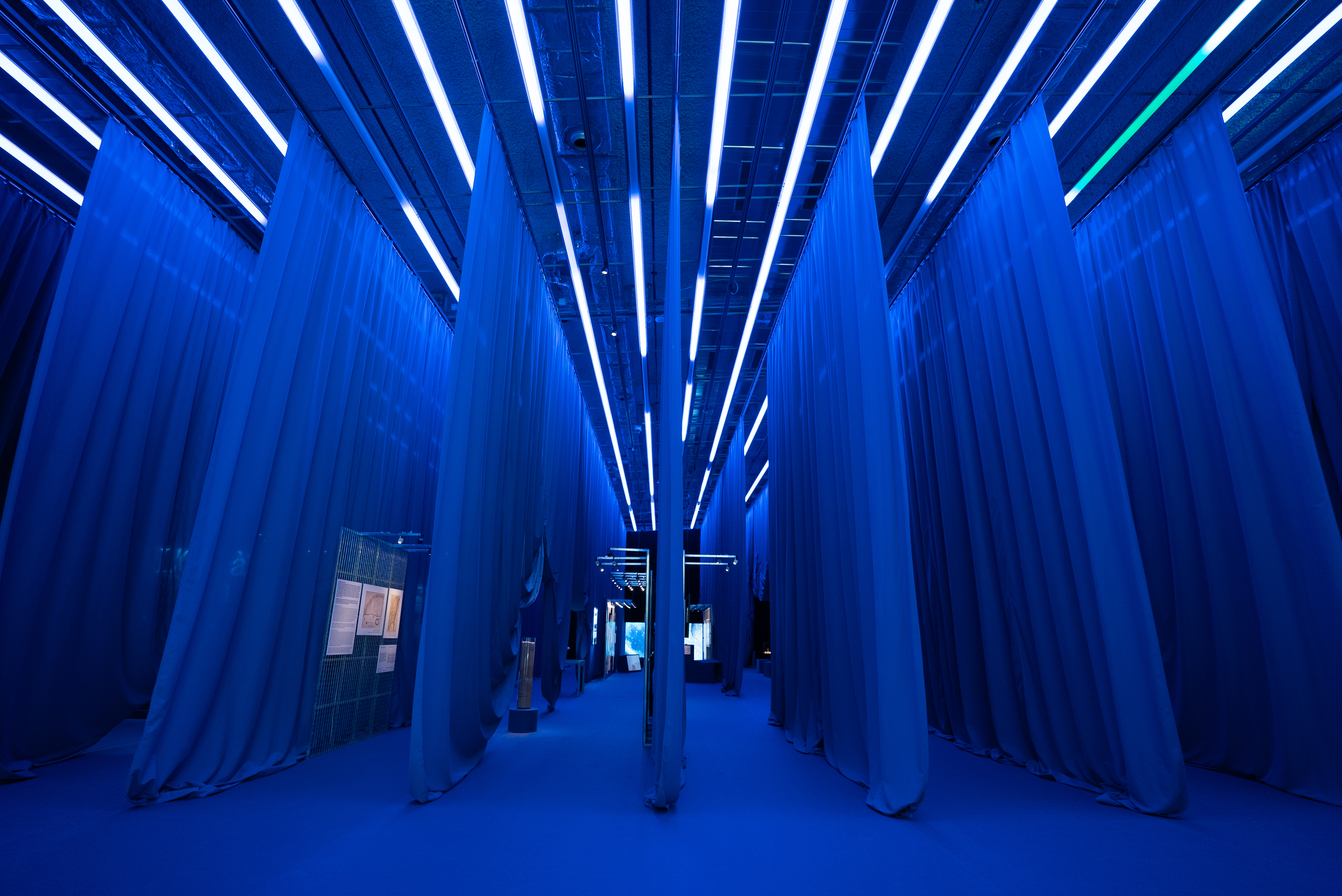
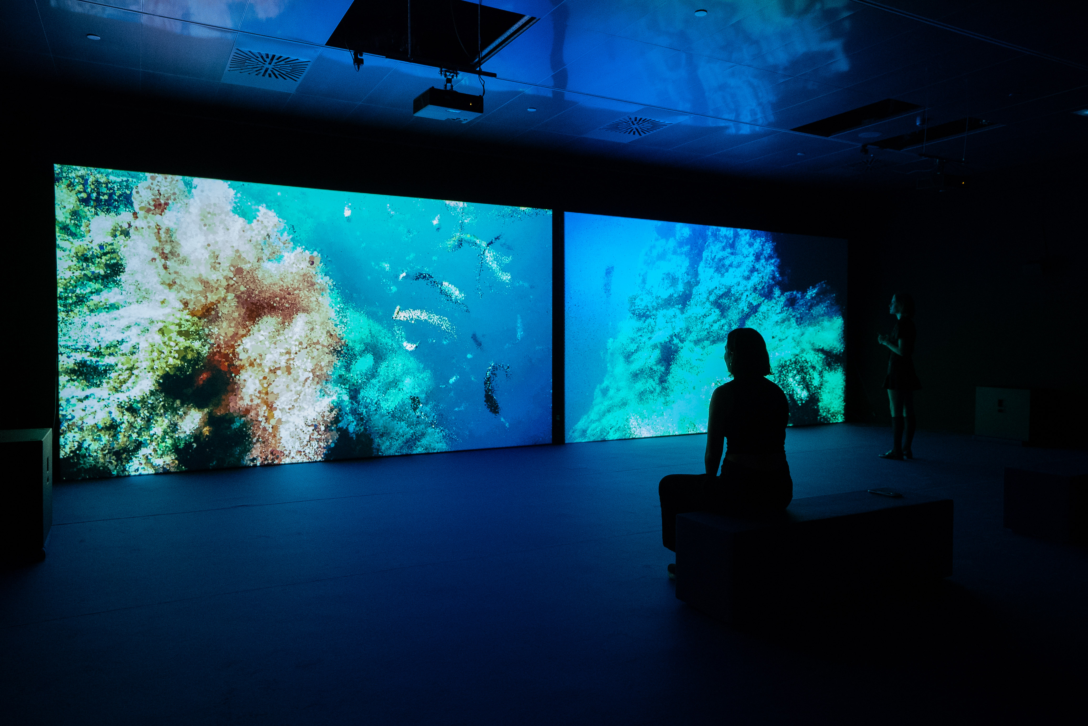
Exhibition Views
Credits
- Photos
-
Disseny Hub
- With works by
-
Adrian Lahoud, Sam Jacoby, Benjamin Mehigan with Accept & Proceed, MadebyON, and PoOR; Ant Farm; Atelier Luma; Embassy of the North Sea (Sheng-Wen Lo, Leon Lapa Pereira & Harpo ’t Hart); Institute for Postnatural Studies & Juan Pablo Pacheco Bejarano; Kelly Jazvac, with Patricia Corcoran and Charles Moore; Laboratori d’Aplicacions bioacústiques (UPC); Landlab, laboratorio de paisajes; Liam Young; Marina Otero Verzier with Dan Miller; Marshmallow Laser Feast in collaboration with Tom Mustill; Ocean Ecostructures; Studio Klarenbeek & Dros.